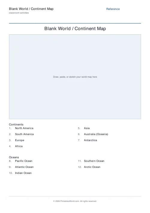
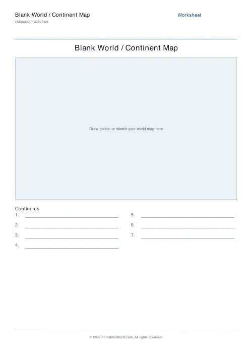
What this tool does
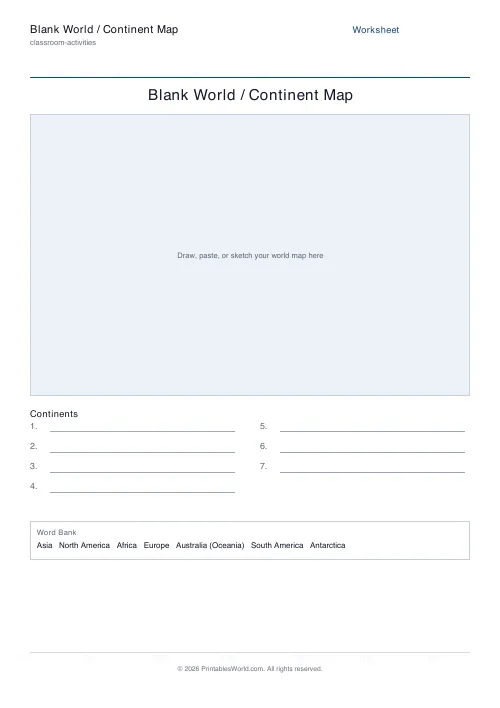
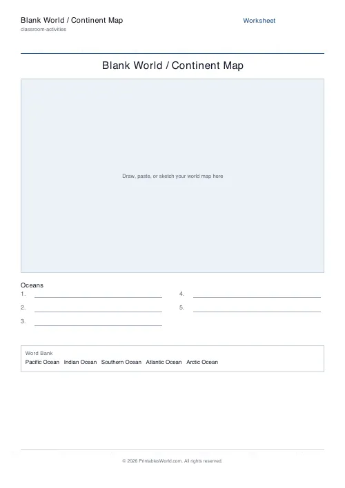
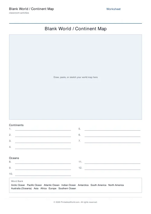
A world map drawn from Natural Earth's public-domain outlines, with numbered blank lines underneath for the seven continents and the five oceans. Add a shuffled word bank for younger classes, print the answers in place as a study sheet, or switch the map to a single continent and label its countries instead.
People also used
Blank US States Map
Real state outlines: numbered to name, labelled with abbreviations, or blank, with a state list and answer key.
Blank Europe Map
Real Europe outlines: number the countries and name them on the list, print the names, or take the outline alone.
Blank Africa Map
Real Africa outlines: number the countries and name them on the list, print the names, or take the outline alone.
Feedback
Spotted something off with this tool?
A real map, not an empty box
Until recently this sheet left a blank rectangle for you to draw or paste a map into. It now prints the coastlines and borders themselves, taken from Natural Earth, the public-domain dataset that atlases and newsrooms build on. Antarctica is included, the shapes are simplified only as far as clean printing needs, and nothing has to be glued on before a class can start.
What the sheet asks for
Continents gives seven numbered lines, oceans gives five, and both gives them as two labelled groups. Reference prints the answers in place, which turns the same sheet into a study aid. A shuffled word bank at the foot of the page is optional, and so is a separate answer-key page.
Or label a single continent
Switch the map from World to Europe, Africa, Asia, North America, South America or Oceania and the sheet changes job: the countries are numbered on the map and the list underneath becomes a country list, with an answer key on a second page. Each continent also has its own page on this site if you would rather link straight to it.
About the borders
Natural Earth draws de facto boundaries, and no world map is politically uncontested. The country lists cover the 193 UN member states; territories, dependencies and places whose status is disputed are drawn exactly as the data has them but are not asked for by name. Where a border is contested that is usually worth a conversation in class rather than a line on a worksheet.
Where it fits
Primary and lower-secondary geography, homeschool continent studies, and revision before a map test. The blank US states map on this site does the same job for American geography.
FAQs
Quick answers
Does the sheet include a world map outline?
Yes. It prints real coastlines and country borders from Natural Earth's public-domain data. Earlier versions left a blank box to draw or paste a map into; that is no longer the case.
Which continents and oceans are covered?
The seven continents (North America, South America, Europe, Africa, Asia, Australia/Oceania and Antarctica) and the five oceans (Pacific, Atlantic, Indian, Southern and Arctic).
Can I label countries instead?
Yes. Change the map from World to a single continent and the countries are numbered on the map, with a matching list underneath and an optional answer key.
Which countries are on the answer list?
The 193 UN member states. Territories, dependencies and places with disputed or partial recognition are drawn on the map but are not asked for by name.
Is there an answer key?
Yes, as a separate page for the blank modes. Reference mode prints the answers in place instead, so it needs no key.
What paper sizes are supported?
A4 and US Letter. The map is scaled to fit whichever you choose.
Related tools
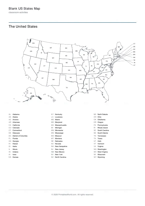
Blank US States Map
Real state outlines: numbered to name, labelled with abbreviations, or blank, with a state list and answer key.
Blank Europe Map
Real Europe outlines: number the countries and name them on the list, print the names, or take the outline alone.
Blank Africa Map
Real Africa outlines: number the countries and name them on the list, print the names, or take the outline alone.
Blank Asia Map
Real Asia outlines: number the countries and name them on the list, print the names, or take the outline alone.
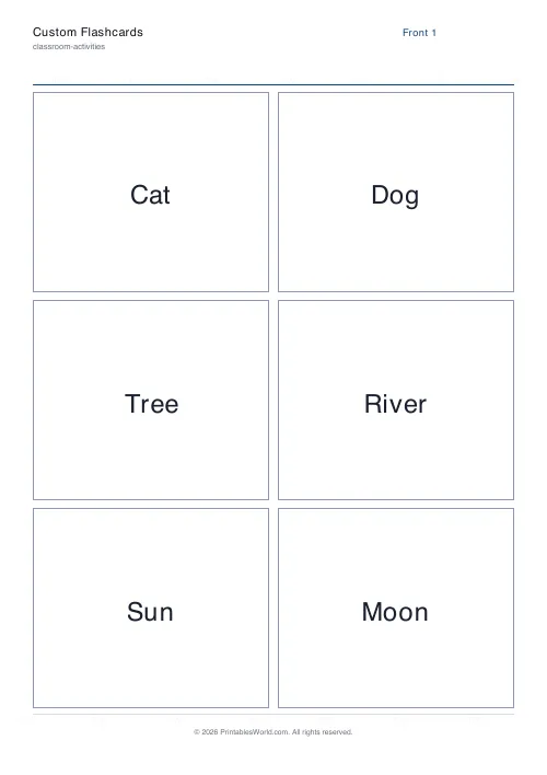
Custom Flashcards
Double-sided printable flashcards from your own list of pairs.