What this tool does
North America drawn from Natural Earth public-domain outlines on an equal-area projection, so country sizes compare honestly. Number the countries and write the names on the list below, print the names straight onto the map for a reference sheet, or take the outline on its own for colouring. An answer key prints on a second page.
People also used
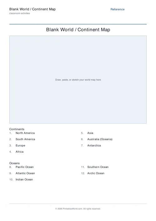
Blank World Map
Real coastlines and country borders, with numbered lines to label the seven continents and five oceans.
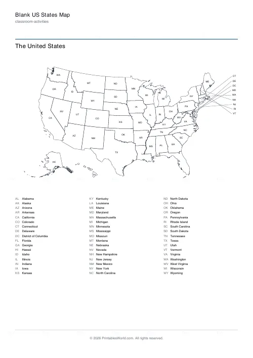
Blank US States Map
Real state outlines: numbered to name, labelled with abbreviations, or blank, with a state list and answer key.
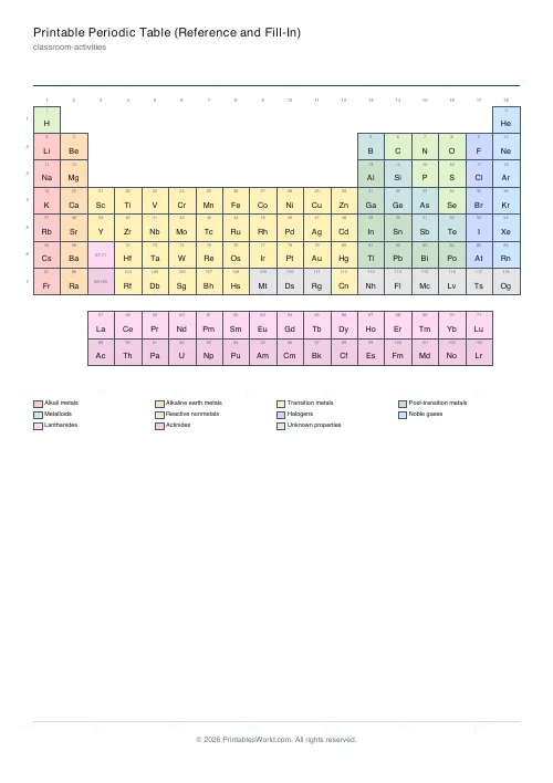
Printable Periodic Table (Reference and Fill-In)
All 118 elements: a coloured reference table, a fill-in version with numbers only, or a blank grid, plus a full element list.
Feedback
Spotted something off with this tool?
Real outlines, not a sketch
The coastlines and borders come from Natural Earth, the public-domain dataset that most atlases and news graphics start from. Greenland sits at the top right; the Caribbean islands are drawn but many are too small to carry a number. Shapes are simplified to what prints cleanly at this size, but the outline of each country is its real outline.
Three ways to use it
Numbers is the test: each country big enough to hold one carries a number, and the list underneath has a numbered blank line for every name. The answer key prints on its own page. Names prints the country names on the map itself, which makes a reference sheet or a study map. None leaves the outline alone, for colouring, for shading regions, or for whatever task you set.
Which countries are asked for
The numbered list is the UN member states of this continent. Neighbouring countries that fall inside the map window are drawn, because that is what a real map shows, but they are not numbered and are not on the answer list. Territories and places whose status is disputed are drawn and left unnamed for the same reason.
Small countries
A country has to be big enough on the page to hold a number legibly. Ones that are not are still drawn, with their number placed just outside and a thin pointer line back to the country, the way a classroom wall map handles them. Nothing is left off the map.
About the borders
Natural Earth draws de facto boundaries, and every world map involves choices that somebody disputes. Treat the sheet as a teaching simplification rather than a statement: it is a shape to label, and where a border is contested that is worth a conversation in class rather than a line on a worksheet.
Where it fits
North American geography units and continent studies in grades 3 to 7. The same generator prints the world and the other continents, so a unit can use one visual style throughout.
FAQs
Quick answers
Where do the outlines come from?
Natural Earth, a public-domain map dataset used widely in publishing and journalism. No attribution is required to use the sheets; we credit it on our licences page anyway.
How does the numbered version work?
Each country large enough to hold a number gets one, and the list under the map has a matching blank line. Tick the answer key to print the names on a second page.
Which countries are on the answer list?
The 193 UN member states. Territories, dependencies and places with disputed or partial recognition are drawn on the map exactly as the source data has them, but are not asked for by name.
Why do some numbers sit outside the map?
Small countries cannot hold a legible number inside their own outline, so the number is placed in the margin with a pointer line back to the country.
Can I print just the outline?
Yes. Set Labels to None and turn the country list off.
Are capital cities marked?
No. This is a country outline map. Capitals would need city dots and a much larger sheet to stay readable.
What paper sizes work?
A4 and US Letter. The map is scaled to fit whichever you choose.
Related tools
Blank World Map
Real coastlines and country borders, with numbered lines to label the seven continents and five oceans.
Blank US States Map
Real state outlines: numbered to name, labelled with abbreviations, or blank, with a state list and answer key.
Printable Periodic Table (Reference and Fill-In)
All 118 elements: a coloured reference table, a fill-in version with numbers only, or a blank grid, plus a full element list.
Custom Flashcards
Double-sided printable flashcards from your own list of pairs.
Further reading
Classroom Activities
How to run a classroom economy (free printables)
A classroom economy teaches money, work and choice at once. But it collapses if the maths is wrong. Here is how to set the numbers, and the four pitfalls to avoid.
5 min read
Classroom Activities
Back-to-school printables every teacher needs
Sorted by when you will actually need them: the two things to print before the children arrive, the week-one set, and the routines worth establishing while everyone is still compliant.
5 min read
Classroom Activities
Escape room activities for the classroom: a how-to
A classroom escape room is a sequence of puzzles with a story on top. The design decision that matters most is whether groups work through them in order or all at once.
5 min read