Printable Paper
Map Grid Paper
Numbered grid paper for hand-drawn maps and orienteering.
Last updated:
What this tool does
A 1 cm grid paper with numbered axes — useful for hand-drawn maps, simple orienteering layouts and tabletop game world building. Bold rules every 5 cm act as major grid divisions.
Free downloads
Ready-made Graph Paper printables — free PDF downloads
No setup needed — download these print-ready graph paper as free PDFs. Each one was made with the generator above, so you can recreate or fully customize any of them.
Graph Paper — 2 mm
Print-ready graph paper (2 mm) as a free PDF — made with the generator above so you can tweak and reprint.
↓ Download PDF
Graph Paper — 2.5 mm
Print-ready graph paper (2.5 mm) as a free PDF — made with the generator above so you can tweak and reprint.
↓ Download PDF
Graph Paper — 4 mm
Print-ready graph paper (4 mm) as a free PDF — made with the generator above so you can tweak and reprint.
↓ Download PDF
Graph Paper — 5 mm
Print-ready graph paper (5 mm) as a free PDF — made with the generator above so you can tweak and reprint.
↓ Download PDF
Graph Paper — 10 mm (1 cm)
Print-ready graph paper (10 mm (1 cm)) as a free PDF — made with the generator above so you can tweak and reprint.
↓ Download PDF
Graph Paper — Lines
Print-ready graph paper (Lines) as a free PDF — made with the generator above so you can tweak and reprint.
↓ Download PDF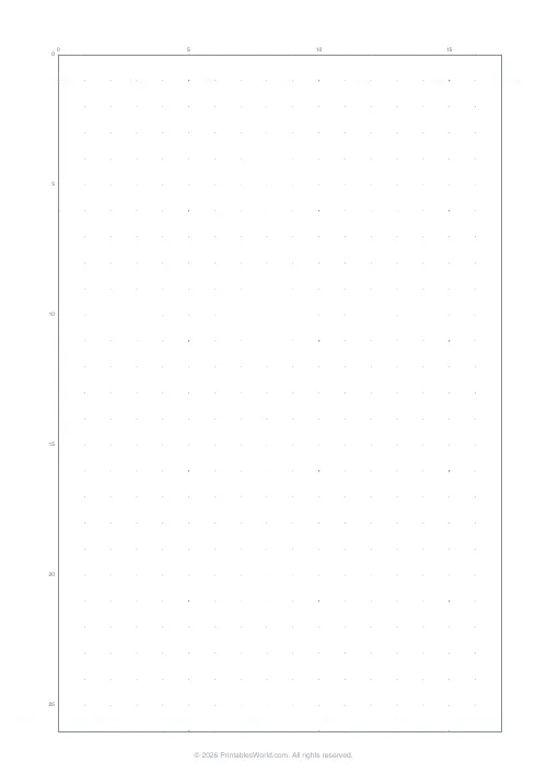
Graph Paper — Dot grid
Print-ready graph paper (Dot grid) as a free PDF — made with the generator above so you can tweak and reprint.
↓ Download PDF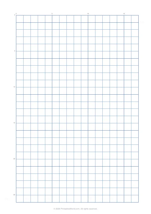
Graph Paper — Blue
Print-ready graph paper (Blue) as a free PDF — made with the generator above so you can tweak and reprint.
↓ Download PDF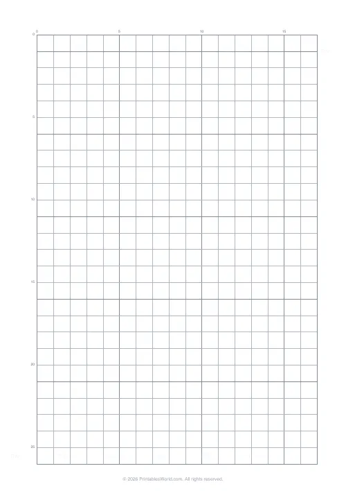
Graph Paper — Gray
Print-ready graph paper (Gray) as a free PDF — made with the generator above so you can tweak and reprint.
↓ Download PDF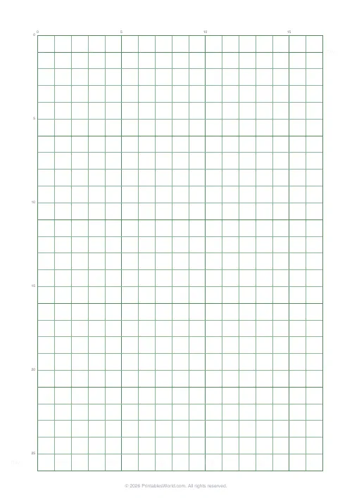
Graph Paper — Green (engineering)
Print-ready graph paper (Green (engineering)) as a free PDF — made with the generator above so you can tweak and reprint.
↓ Download PDF
Graph Paper — Light
Print-ready graph paper (Light) as a free PDF — made with the generator above so you can tweak and reprint.
↓ Download PDF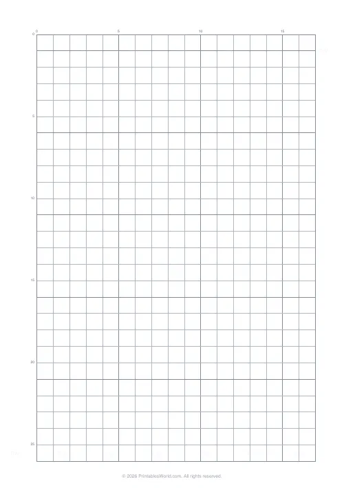
Graph Paper — Medium
Print-ready graph paper (Medium) as a free PDF — made with the generator above so you can tweak and reprint.
↓ Download PDF
Graph Paper — Dark
Print-ready graph paper (Dark) as a free PDF — made with the generator above so you can tweak and reprint.
↓ Download PDF
Graph Paper — On
Print-ready graph paper (On) as a free PDF — made with the generator above so you can tweak and reprint.
↓ Download PDF
Settings
Customize your graph paper
10 mm grid on A4 paper, bold every 5, light gray lines.
Line weight
Line colour
Paper size
Preview
Sample grid
On-screen mock of the chosen pattern. The PDF prints at exact millimetre spacing.
People also used
Feedback
Spotted something off with this tool?
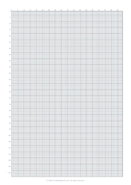
Printable Map Grid Paper with Numbered Axes for Grid References
Map grid paper is ordinary graph paper with one critical addition: numbered axes along the top and left so every square has a unique grid reference. That turns the sheet into a navigable map surface rather than a generic grid. This template prints 1 cm squares with a bold rule every 5 cm and numeric labels on both axes, echoing the Ordnance Survey and US Geological Survey convention. Download as a PDF in A4 or US Letter.
Need unnumbered 1 cm squared paper? Use the Graph Paper Generator. Need hexes for tabletop gaming? See the Hex Grid Paper.
Why numbered grid paper?
Any time you want to communicate a location on a drawing without words, a numbered grid is the quickest tool. Teachers use it to teach four-figure and six-figure grid references; tabletop gamers use it as a makeshift campaign map; geography students use it for hand-drawn sketch maps of fieldwork sites. Use map grid paper for:
- teaching four-figure and six-figure grid references
- hand-drawn fantasy and worldbuilding maps
- orienteering course planning practice
- tabletop roleplay regional maps
- garden and landscape layouts at a known scale
- floor plans for homes, shops, or classrooms
- event layouts (village fetes, school sports days)
What is on the page
- 1 cm (10 mm) squares — the standard map-planning scale.
- Bold rule every 5 cm — major grid divisions.
- Numbered axes — numbers along the top and left every 5 squares.
- Outer border — a tidy frame around the grid.
- Grey line colour — quiet grid that does not dominate when you add colour or shading.
Each major cell block is exactly 5 cm on a side, which matches the kilometre grid of 1:50,000 Ordnance Survey maps if you treat each small square as 200 metres, or works as any convenient scale you choose (a square could represent a metre, ten metres, or a mile — your call).
Who this paper is for
Students
Geography students sketching fieldwork sites, making cross-sections, and practising grid references. Numbering along the axes removes the chore of counting from a corner every time.
Designers & makers
Garden designers, landscape architects, and interior designers sketching to a known scale on paper before drafting in CAD.
Teachers
Geography and mathematics teachers running map-skills lessons. Four-figure references become self-explanatory when the axes are pre-numbered.
Hobbyists
Tabletop game designers and worldbuilders drawing maps for campaigns, novels, or personal projects.
How to use the tool
- Leave the grid at 10 mm, or adjust in the generator settings.
- Keep "bold every five" on for clear major divisions.
- Keep "numbered axes" on for automatic grid references.
- Choose A4 or US Letter.
- Click Generate.
- Preview and confirm the axis labels are legible.
- Download and print at 100% scale.
Worked example
A geography teacher is introducing four-figure grid references with a Year 8 class. She prints the map grid template on A4 at 1 cm squares with numbered axes. Each student draws a simple island map on the grid, placing features such as a mountain, a river mouth, and a harbour on specific squares. Then they swap sheets with a partner and give four-figure references for each feature. Because every square is already labelled, mistakes come from the student's reading — not from miscounting — which focuses the lesson squarely on the technique.
Methodology
The template draws a 10 mm grid in vector PDF with a bold rule every fifth line, then overlays numeric labels along the top and left edges. Labels are rendered in a legible sans-serif at a size that stays readable at A4 without overpowering the grid. An outer border frames the plotting area so the finished maps look neat when pinned to a wall or scanned.
Every PDF passes through the shared printable-paper template, so branding, watermark, and QR placement remain consistent across all the paper generators on the site.
Designed for A4 and US Letter printing
The 1 cm square size is preserved on both paper sizes; only the count of squares per row and column changes. Print at 100% scale so the scale stays true if you are using the paper for measured drawings.
Tips for drawing hand-made maps
- Decide your scale before you start drawing; "one square equals 100 metres" or "one square equals a mile" both work, but swapping mid-map is painful.
- Sketch coastlines and rivers lightly first, then drop in settlements and roads so you can adjust.
- Use colour sparingly: green for woodland, blue for water, brown for relief — matching Ordnance Survey convention keeps maps legible.
- Reserve the top margin for a title, the bottom-right for a scale bar, and the bottom-left for a legend.
- For four-figure grid references, state the eastings (column) first and the northings (row) second, just like OS maps.
Related printable paper tools
- Hex Grid Paper — hexagonal map grid
- Graph Paper Generator — customisable grid without axis numbers
- 5 mm Graph Paper — finer grid for detail work
- Isometric Grid Paper — for 3D isometric maps
FAQs
Quick answers
Are the squares numbered?
Yes — every 5 squares along the top and left so you can give grid references.
What can I use it for?
Hand-drawn maps, orienteering practice, and tabletop game maps where each square is a distance unit.
Can I print multiple sheets?
Yes — generate as many copies as you need.
Can I get unnumbered grid paper instead?
Yes — use Graph Paper — 1cm Grid for the same spacing without axis labels.
Related tools
Hex Grid Paper
Hexagonal grid for board game design, mapping, and strategy games.
Floor Plan Grid
Architectural-style grid for sketching room layouts.
Graph Paper — 1cm Grid
Standard 1 cm square grid paper for maths and design.
RPG Battle Map Grid
One-inch square grid for tabletop battle maps, dungeons and encounters.
More like this
 Graph Paper Generator
 Lined Paper Generator
 Graph Paper — 1cm Grid
 Graph Paper — 5mm Grid
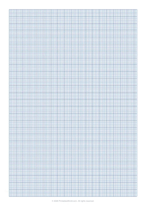 Graph Paper — 2mm Grid
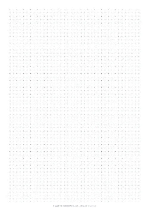 Dot Grid Paper
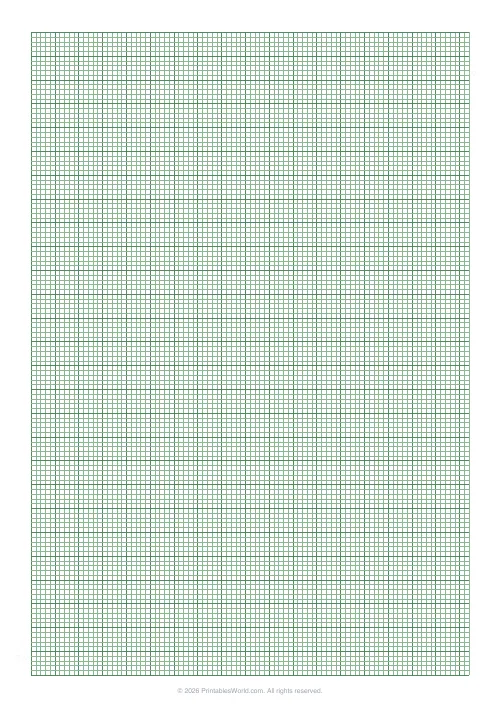 Engineering Paper
 Knitting / Crochet Grid
 Cross Stitch Grid
 Pixel Art Grid — Small (16×16)
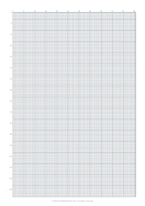 Pixel Art Grid — Large (32×32)
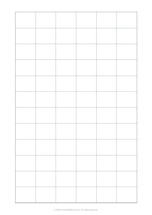 Classroom Seating Chart Grid
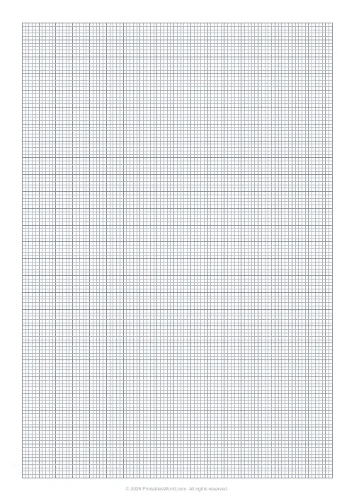 Floor Plan Grid
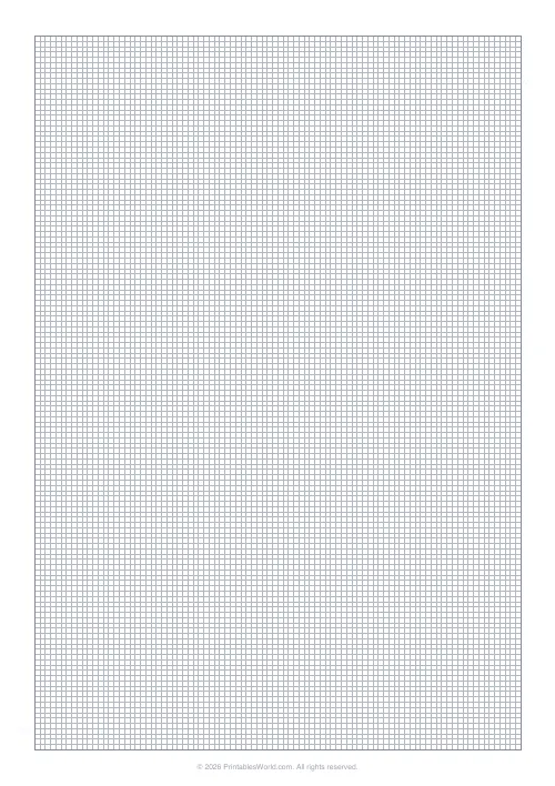 Blank Notebook Page